
Tree Risk Assessments
Flowers Environmental and Sites takes your liabilities as our highest calling. Our reputation for precision and problem solving has allowed us to work for some of the biggest names in the region.
Our desire is to stand by our client’s side and help find ways to mitigate exposure, finish projects on time, and get creative to find meaningful solutions in the field. In doing so, our work benefits the land and its steward while we all strive to serve the health, welfare, and safety of the public.
What is a Tree Risk Assessment?
-
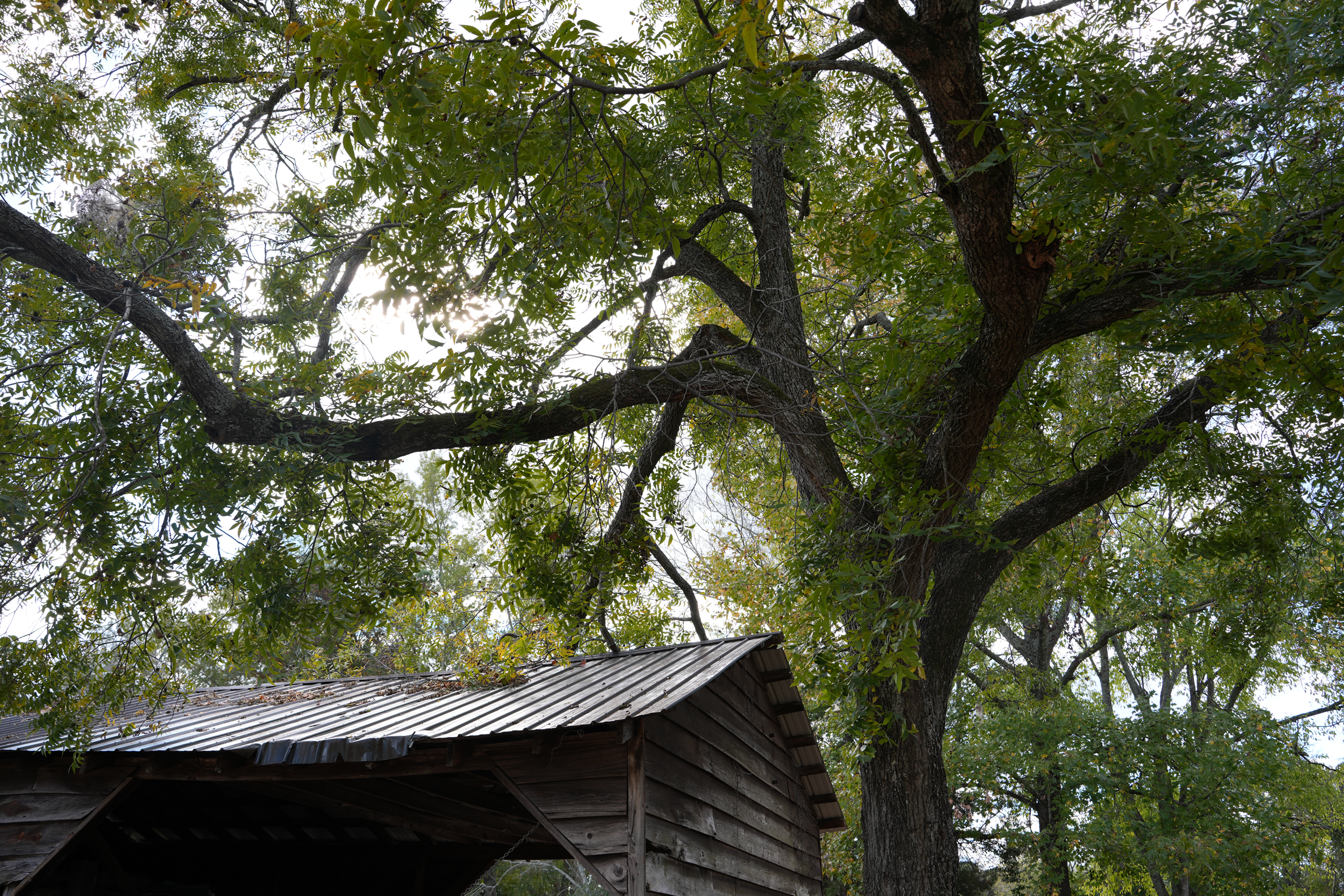
This begins with a limited visual inspection. A site walk with acute attention to details of your trees and the assets they surround.
We search and tag trees that need further inspection and may warrant further discussion and analysis. It is the due diligence “30,000-ft view” of all your tree exposure.
It is not meant to be diagnostic in nature and doesn’t give a tree-specific risk profile. It establishes a population-level awareness of the incumbent tree risks that might be easily noticeable.
A Level 1 walk only examines one side or a general corridor perspective to screen out trees that do not present immediate visible concerns and flag high-priority specimens that require closer inspection.
Your deliverable:
A GIS map of trees to assess, general notes on hazards which may occur and a list of obvious and apparent defects which are immediately actionable. -
The Level 2 assessment is where we see the trees within the forest.
We individually inspect trees which were previously noted as well as a closer inspection of all the other trees previously reviewed. This is where fiduciary responsibility meets precision inspection.
Each high-priority tree has an individual risk assessment which gives a robust understanding of what is at stake.
This report, with associated GIS mapping, gives a full and complete inventory of the assets that need your attention and gives you the meaningful data to execute with your existing tree care professional.
-
Drones are everywhere today. Everyone seems to have one and these devices are used in many ways. It seems to be where the future meets today.
At FE&S, we use drones to assist with canopy inspections both from above the tree canopy and within individual trees to give us a perspective that no one else can offer.
Rendering your site in 3D is simple enough and many specialists do this, but with our combination of spatial mapping, geospatially tagged hyperlinks for individual tree analysis, and a clinical understanding of the underlying causes of concern, we are able to deliver a product unlike any other.
Each problem tree can be seen from any angle:
Does an individual branch’s shadow impede grass growth and block the necessary early morning light?
What area might be affected by the wind break along a corridor from the prevailing winds being funneled?
Which tree hangs over a walking path, cart path, or building? Is the parking area compromised?
Does a pattern of disease appear to be prevalent along a certain water drainage area?
Where might there be micro-ponding issues which ruin turf health?
Two example deliverables are showcased below.
THESE ARE FOR DEMONSTRATION PURPOSES AND DO NOT CONSTITUTE THE ACTUAL TREE RISK FINAL REPORTS.